

 UTAH EDUCATION NETWORK

 Justin
 Dani
Dani Rob
Rob Val
Val

Weather Resources - Online Cloud Guide
Cumulus Clouds
Photos copyrighted by Cloud Chart, Inc., used by permission.
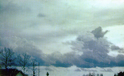
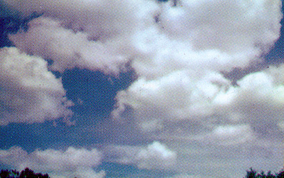
CUMULUS Congestus

- If clouds form from SW to NW, precipitation with gusty winds and thunderstorms or only wind squalls are likely within 5 to 10 hours.
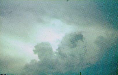
CUMULUS Congestus

- Cloud tops forming altocumulus cumulongenitus usually brings precipitation in 5 to 10 hours, gusty winds, thunder showers, wind squalls.
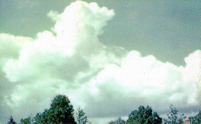
CUMULUS Congestus
- If clouds form from SW to NW, precipitation with gusty winds and thunderstorms or only wind squalls are likely within 5 to 10 hours.
CUMULUS Congestus with Fracto Stratus
- Precipitation of long duration if winds from NE to S, or shorter duration with other winds.
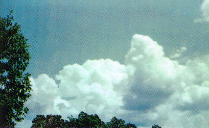
CUMULUS with Vertical Growth
- Fair weather clouds building up vertically often indicate cumulus congestus and cumulonimbus which bring afternoon showers.
CUMULUS Humilis
- Fair weather clouds if they show no vertical development.
- Can build up and develop into cumulus congestus or cumulonimbus clouds.
CUMULUS Fractus
- Fair weather clouds broken up by strong winds.
- No precipitation unless winds steady NE to S, then cumulus fractus of bad weather.