

 UTAH EDUCATION NETWORK
 Justin
 Braxton
 Dani
Dani Rob
Rob Val
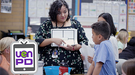
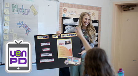
ValProfessional Development
UEN PD News


Tech Discussions
EDU Partners
Get your Ed Tech Endorsement


800-863-3496, opt. 1, opt. 1
Mon-Fri 6:00 AM-10:00 PM
Or e-mail us: ivc@uen.org

Operations Center
801-585-7440
UEN Security Office
801-585-9888
Technical Services Support Center (TSSC)
800-863-3496
Eccles Broadcast Center
101 Wasatch Drive
Salt Lake City, UT 84112
(800) 866-5852
(801) 585-6105 (fax)
Administration
(801) 585-6013
Education Services
(800) 866-5852
Network Services
(800) 863-3496