

 UTAH EDUCATION NETWORK

 Justin
 Dani
Dani Rob
Rob Val
Val Kayla
Kayla
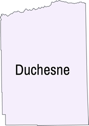
Duchesne County
County Website: Duchesne County
Area: 3,256 square miles
Population: 20,477 (2023)
Founding Year: 1915
County Seat: Duchesne City
Origin of County Name: after the Duchesne River which was possibly named for a French Canadian trapper
Cities/Towns: Altamont, Duchesne, Myton, Roosevelt, Tabiona
Economy: livestock, alfalfa and hay, oil, natural gas
Points of Interest: Big Sand Wash Reservoir, High Uinta Wilderness Area, Moon Lake, Starvation Reservoir
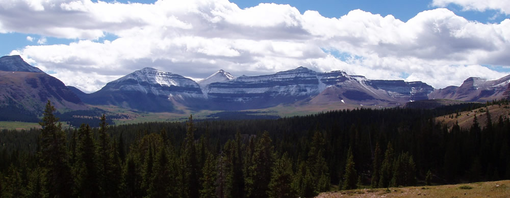
Geography: Northern third Uinta Mountains, major river sources. Southern part desert-like Uinta Basin, flat and rolling terrain
Historical Significance: Originally Uintah and Ouray Indian Reservation. Opened to homesteaders under Dawes Act early 1900s
Notable Residents: Limited records, early settlers and homesteaders post-1905
Natural Resources: Water from Uinta Mountains supports agriculture, oil and gas exploration
In 1914, the Utah State Legislature created Duchesne County from a portion of Wasatch County. The county became official with the start of the new year in 1915. Located within the Uinta Mountains, Duchesne County is home to Kings Peak, the highest mountain in the state, rising to 13,528 feet. Major streams flowing through the county include the Strawberry, Duchesne, Lake Fork and Yellowstone rivers.
The settlement of Duchesne County holds a unique place in Utah history. Unlike much of the state, it was not settled under the direction of Brigham Young. Instead, individuals acquired 160-acre plots through the federal Homestead Act. To secure ownership, homesteaders were required to live on the land for five years, make improvements and pay $1.25 per acre before receiving title to their homesteads.
More information for Duchesne County can be found at the following sites:
- UOPL – Duchesne County Profile
- Duchesne County Chamber of Commerce
- Ghost Towns – Duchesne County
- Utah.com – Uinta Mountains
- Utah Counties Profile – Duchesne County
- Utah History Encyclopedia – Duchesne County
- Utah History for Kids – Duchesne County
- U.S. Census Quickfacts – Duchesne County
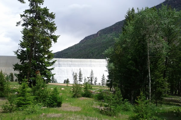
Image from Wikimedia Commons

Image from Wikimedia Commons
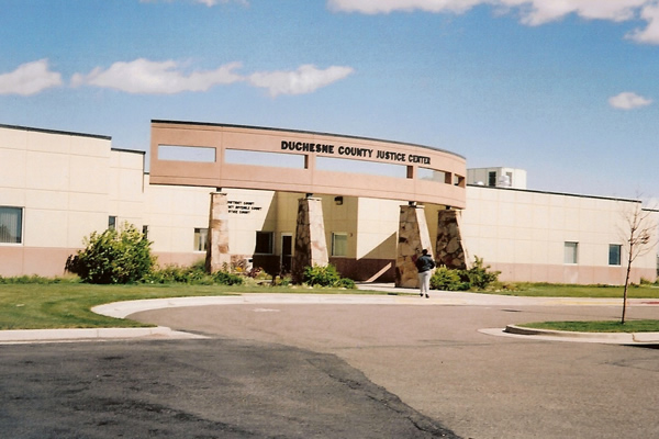
Image from Wikimedia Commons
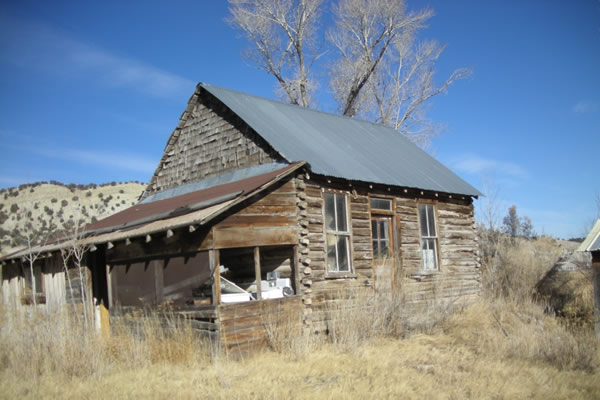
Image from Wikimedia Commons
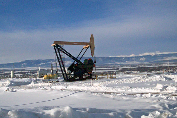
Image from Wikimedia Commons
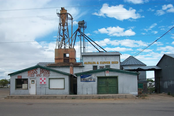
Image from Wikimedia Commons
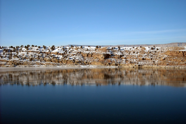
Image from Wikimedia Commons

Image from Wikimedia Commons

Image from Wikimedia Commons

Image from Wikimedia Commons
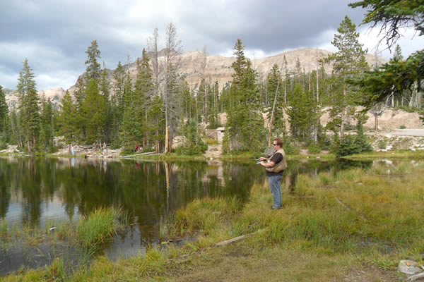
Image from Wikimedia Commons
Image from Wikimedia Commons